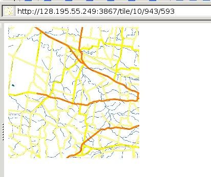
Openstreetmap
Advertisement
ArcBruTile v.0.1.6
Tile Services in ArcGIS Desktop. ArcBruTile display tiles from OpenStreetMap, ESRI, Bing Maps and Geodan GeoServer in ArcGIS Desktop using the BruTile library.ArcBruTile supports: - all projections; - client side caching.Why ArcBruTile is developed:
Advertisement
Gosmore v.2011-02-21
View maps with this tool. Gosmore is an OpenStreetMap navigation application. It can display the map in 2D and 3D. It also provides searching and turn-by-turn routing abilities. All the data is stored offline in it's own binary format.
QMapExplorer v.Beta 1
View and explore maps with this tool. QMapExplorer is an software to access, view and explore tile based online maps like OpenStreetMap or GoogleMaps. This is the first beta release with serious functionality.QMapExplorer Features: 1. High precision

EWorld 0.9.3 Beta v.1.0
eWorld is a framework to import mapping data from providers, such as OpenStreetMap.
CommonMap tools v.1.0
CommonMap is an open source map project, forked from OpenStreetMap by a licence problem.
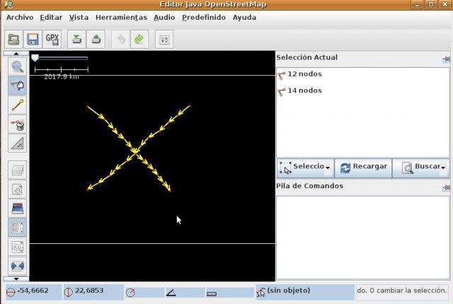
Create a grid of ways plugin por JOSM v.1.0
Plugin for JOSM (OpenStreetMap editor) that makes a grid of streets from only two.

Geo-OSM-Tiles v.0.04
This module provides functions for calculating the path to a map tile at OpenStreetMap out of geographic coordinates.
Injooosm v.0.5.7
injooosm integrades OpenStreetMap in Joomla.

OSM Parser v.1.0
With OSM Parser it is possible to process OpenStreetMap geodata for various purposes.
Osm2kml v.0.2.1
A simple and still alpha Python script to extract features out of an OpenStreetMap (OSM) file into basic Keyhole markup language (KML)